4th September - 13th September 2018
Nepal: Annapurna Circuit Trek
19
NAMASTE!
HELLO!
Yes! The dreams come true. And here is my experience after the first meeting with Himalayan Mountains. Annapurna Circuit offers so much, from the variety of scenery of both the northern and southern Himalaya to the variety of cultures and beautiful people. The trek is rated as one of the most beautiful treks in the world. I hope it is going to stay like that...
Hi, I am Aleks, student, designer, amateur photographer and outdoor enthusiast. This year I decided to make one of my dreams comes true and go to Nepal. When planning the Annapurna Circuit trek, my other half Michal and I decided that we would take no guide and hire no porter. I am sure some local people would not support that statement. However, we didn’t actually have the budget to pay fair wage to hired people. I know that most of them don’t receive even decent pay, especially porters who do the hardest work and get just a couple of dollars per day. I am against the lack of respect for these people. What is more, it was our first trip to Asia and we wanted to do it on our own with total freedom. Nevertheless, it means that we had no translator, no one to show us any useful shortcuts, give us some background information or teach us Nepalese language as well as no one to carry our stuff. We lost many good opportunities because of that but we also gained new skills and improved our organisational skills. It did not stop us from meeting good people on our way and explore this place on our own.
Annapurna Circuit Trek Facts
It is very difficult to find just a one good source about Annapurna Circuit. It took me ages to collect all necessary information. You can buy a map in Kathmandu, Pokhara or Besisahar but I recommend planning it earlier, just to know estimated time, distance, places to sleep and visit. Another useful tip – do not rely on one guidebook and if you don’t have time to prepare better hire a guide and pay him a proper financial reward.
Distance // Route varies between 160km – 230km depending on start and finish points and optional side treks.
Length // 10–21 days (the grand loop from Besisahar to Pokhara takes approximately 17–21 days but you can spend there a month too).
Difficulty // Moderate to challenging (mostly flat but there are some steep sections).
Starting elevation // 760 meters (2,493 feet) at Besisahar up to 3,450 meters (11,319 feet) at Manang, depending on your starting point.
Peak elevation // 5,416 meters (17,769 feet) at Thorong La Pass.
Guiding // Recommended but not required. Recommended especially when you have time to do side treks, want to use the best path options, be safe on the top in case of high altitude sickness.
Accommodations // Teahouse. There are plenty options. Most of them have power outlets, WIFI, shower with hot water and western or squat toilet. However, expect basics.
When to Go // Fall peak trekking season is from October to early December; spring trekking season is in March and April. However, in my opinion, the monsoon season has its advantages too (in case of AC).
Access // a 30-minute flight from Kathmandu to Pokhara or a car / bus from there to Besisahar or full day by ground transportation (Kathmandu – Besisahar, car: about 6hrs, bus: about 8-10hrs).
Documents // The Annapurna Conservation Area Permit (ACAP) and TIMS card can be purchased from the Nepal Tourism Board in Kathmandu, what takes about 30-40minutes, or Pokhara Tourist Police Office and Permit Office or through a registered guide. Each requires minimum two passport photos. Now, it is also possible to do it in Besisahar. However, they have different opening hours and, apparently, can charge more for it. You will use these to check-in at various checkpoints along the trek.
Best View // The way to and from Tal, the way from Dharapani to Chame, Upper Pisang, the way from Ghyaru to Manang, the view from above the Gangapurna Lake in Manang, Letdar, Thorung Phedi, High Camp, Thorung La Pass, Kagbeni, Marpha (unfortunately, we didn’t visit it due to bad weather), Tatopani, as well as Tilicho Lake and Poon Hill (unfortunately, we did not have enough time to do those hikes).
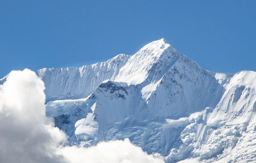
Mountain View // There are panoramic sceneries of Himalayas, including of the Mt. Dhaulagiri (8167m), Mt. Annapurna I (8091m) Mt. Manaslu (8163 m), Mt. Annapurna II (7937 m.) , Mt. Annapurna III (7555m), Mt. Annapurna IV (7525m), Mt. Annapurna south (7219m), Mt. Nilgiri (7041m), Mt. Fishtail also called Mt. Machhapuchhare (6998m), Mt. Hiunchuli (6441m), Mt. Lamjung Himal (6986m),Tukuche peak (6920m), Tilicho peak (7134m).
People // Communities of: Bramin, Chhetree, Tibetian sherpa, Thakali, Magars, Tamang, Gurung.
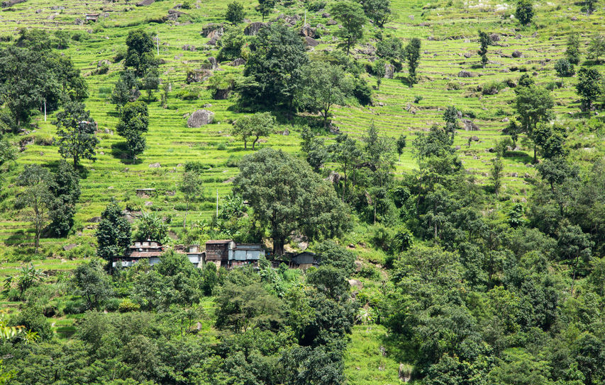
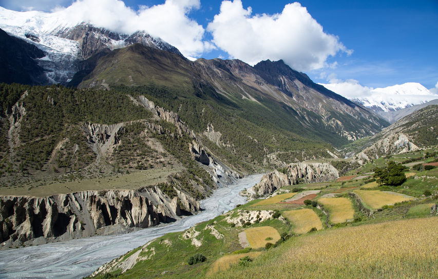
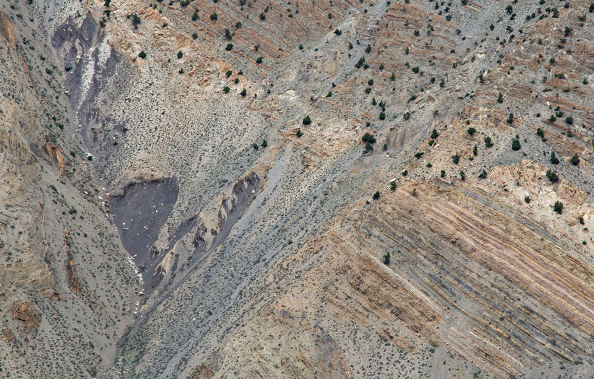
Flora // The trek starts from sub-tropical climate, terraced paddy fields and going through forest trees including oak, beech, fir and rhododendron. Finally, those give a way to forests of pine and, ultimately, juniper. Further the landscape is quite barren as a south extension of the Tibetan plateau. On the top the atmosphere is very unique, mainly because of high altitude ice desert over Thorung La Pass at 5416m. On the other side of the pass there is Kali Gandaki River which is considered the deepest ravine in the world, five times deeper than the Grand Canyon. The landscape comes back to sub-tropical and ends with lower forests and fields.
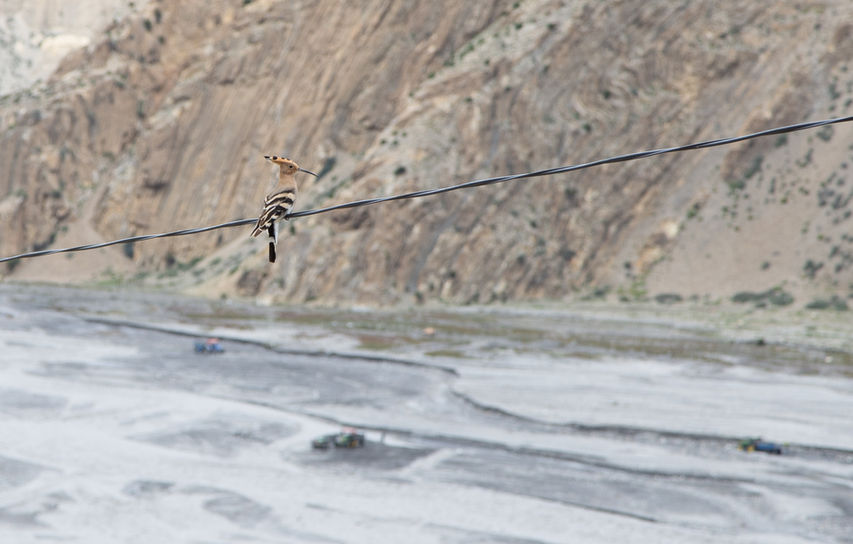
Fauna // Yaks, Blue Sheep (we were lucky to saw them), Snow Leopard (very unlikely you will see him), Mountain Goat and birds such as pheasant or long-tail birds among others.
What Worked // SIM card bought at the airport, merino wool baselayers, Arcteryx Atom LT Hoody – the most versatile piece in my kit, Grayl Ultralight Water Purifier – super quick and super light , Osprey Aura AG - the most comfortable backpack, Tundra - super warm sleeping bag and Merrell All Out Blaze Sieve Sandal as a footwear for light trekking and to use under a shower.
What Didn't Work // Lifeventure washbag was too heavy for backpacking, Sea to Summit Pocket Body Wash Leaves and Conditioning Shampoo Leaves did not work very well - one organis soap bar would be enough, the Lonely Planet guidebook - wrong time estimated and confusing descriptions, the booked flight from Jomsom to Pokhara was cancelled due to weather, not enough time to experience it fully.
£££ // Prices rise with altitude and it is totally understandable. I am giving you examples of prices per person.
-
Taxi from the airport: 700NPR
-
1 night in Kathmandu Village House + breakfast + free baggage storage: $11
-
ACAP + TIMS permissions: 1150NPR + 1000NPR
-
Private car with a driver/ bus from Kathmandu to Besisahar: $50 / $10-25
-
Lunch on the way: about 350NPR
-
1 night + Dal Bhat (meal with refills) + tea + porridge + coffee in Besisahar: 930NPR
-
Jeep from Besisahar to Dharapani: 1500NPR
-
1 night + Dal Bhat +tea x2 + breakfast in Upper Pisang: 1530NPR
-
Vegatable soup + Momo + tea in Nagawal: 775NPR
-
2 nights + 2 meals + 2 breakfsat + drinks in Manang: about 4250 NPR
-
Lunch + tea in Yak Kharka: 550NPR
-
1 night + dinner + porridge + tea in High Camp: about 2400NPR
-
Lunch + coffee in Chabarbu: 550NPR
+ -
Visa 15 days / 30days / longer: $25
-
Flights: expensive
-
Insurance: expensive
-
Vaccinations, drugs, also for high altitude sickness
-
Extra food and shopping: lots of money
...
'Yes! We made it! We're here. I want to kiss the Nepalese soil.'
I shall start from the beginning. I would like to give you the most useful tip - do your plan with a few extra days in it. You may be unlucky as we were. After visiting my friend in Dubai where we had a flight to Nepal, our journey began. Instead of 4hrs flight to Kathmandu we had 24hrs adventure started from flying above Asia, landing in India, coming back to Dubai, waiting at the airport to, eventually, arriving in Kathmandu. There is another tip - consider pros and cons of going to Nepal during monsoon season. Yes, I will write them down for you later.
Here we are in the Village House hotel, one day later in Kathmandu, planning how to speed up our transport to Besisahar, where we are starting our trekking adventure tomorrow. Then, super friendly hotel service comes to us with lots of advices. We have planned transport for tomorrow - a car instead of bus - and repacked our backpacks again, leaving more stuff behind to make sure they are as light as possible.
A NOTE ON KIT
Backpack // Osprey Aura 65L (I took the top part off and made 50L)
Water filter // Grayl Ultralight Water Purifier
Hydration bag // Camelbak Crux 3L Hydration Reservoir
Water bottle // Hydroflask 21oz Flask
Water bottle with a filter// Water To Go Bottle 50cl
Purification tablets // Lifesystems Chlorine Dioxide Tablets
Boots // Meindl Litepeak GTX (in a dry season you don’t need waterproof boots; also just to let you know: you are going to have no blisters at all if footwear is fitted properly for you and your needs, so don’t save money on this one! I did not have any blisters at all!)
Sandals // Merrell All Out Blaze Sieve Sandal
Waterproof jacket // Mountain Equipment Manaslu GTX Pro
Midlayer // Arcteryx Atom LT Hoody
Down jacket // Rab Microlight
Baselayer top // Icebraker Women’s Cool-Lite Sphere Low Crewe T-shirt
Baselayer top // Icebraker Women’s 175 Everyday Short Sleeve Crew
Baselayer top // Icebraker Women’s Siren Tank 150 Ultralight
Baselayer top // Icebraker Icebraker Women’s Long Sleeve 200
Baselayer bottoms // Icebraker Women’s Oasis Leggings
Trousers // Berghaus Ortler 2.0
Shorts // Sherpa Mirik
Socks // Smartwool PHD light, medium and heavy cushioned
Gaiters // Trekmates short with GTX
Gloves // Rab Powerstretch (warmer gloves needed in the high season)
Hat // Icebraker beanie
Sunhat // Outdoor Research Women’s Rhett Hat
Sunglasses // Bloc
Suncream //
Buffallo // Buffs synthethic
Sleeping bag // Tundra Pure -5 (I would take even warmer for high season)
Knife // Swiss Army Huntsman
Head torch // Ledlenser
Walking poles // Black Diamond Womens Specific Trail Trekking Pole Pair
Drysacks // Exped Classic
Towel // Lifeventure Softfibre Lite Towel Large
First Aid Kit //
Repair Kit //
GPS, map and compass //
Powerbank //
Socket adaptors //
The above list does not cover everything but the most essential things. I don’t think there was the way to make my backpack lighter. After all, I left a few things that aren’t mentioned above: small Osprey rucksack, two t-shirts , Bergans wind stopper and some toiletries in Kathmandu. I am glad I did that. Maybe I would leave the down jacket too but then 260g merino wool baselayer for the night on the top is necessary. Remember that better to wash your clothes with an environmentally friendly soap than carry more of them. You don’t need to carry any food with you as you can buy everything from local people, from little snacks to big meals. The meals on the trek are basic with choices ranging from porridge, pancakes, and eggs for breakfast. For lunch and dinner, you can generally choose between Dal Bhat, fried potatoes with mixed vegetables, momos, or a pasta dish. I am not going to review any meet dishes because we’re vegetarians. However, I definitely recommend yak cheese and Dal Bhat! The last one is the national dish of Nepal and it calls ‘trekkers fuel’. Mainly because it comes with unlimited refills, which is great after a day of hard trekking! Now, you will understand when you see t-shirt with ‘Dal Bhat – 24:7 Power’! In general, food in Nepal is delicious but quite spicy.
Coming back to the trek…
ITINERARY
Our schedule totally changed. I was planning to see Tilicho Lake which never happened. I think it is not worth doing detailed plan before you go becuase it may change under unexpected circumstances.
DAY 1: arriving to Kathmandu, a night at Village House (Thamel Marg, 29, Thamel , Thamel, 00977)
DAY 2: Kathmandu – Besisahar by car: 6hrs
DAY 3: Besisahar (790m )– Dharapani by jeep: about 10hrs; a night at Lower Gyalsomdo Valley Cottage Restaurant
DAY 4: Dharapani (1960m) – Chame (2710m) by jeep + hike to Upper Pisang: about 2hrs + 5-6hrs; a night at Hotel Tukuche
DAY 5: Upper Pisang (3310m) – Manang: about 8hrs; 2 nights at Himalaya Singin
DAY 6: Manang (3540m): acclimatization day
DAY 7: Manang (3540m) – Letdar: about 4hrs, a night at Snowland Lodge? (the highest teahouse)
DAY 8: Letdar (4230m) – Thorung Phedi (4540m) - High Camp: about 3-4hrs
DAY 9: High Camp (4800m) – Muktinath (3800m) -Ranipauwa through Thorung La Pass (5416m): about 10hrs
DAY 10: Ranipauwa (3710m) –Kagbeni: about 3hrs; a night at Hotel Shangrila
DAY 11: Kagbeni (2840m) – Jomsom (2660m) + local bus to Tatopani: about 3hrs + bus – about a few hours + fast trek from Ghasa? to Tatopani due to landslides– about 3hrs
DAY 12: Tatopani (1040m) – Beni by jeep + Beni – Pokhara by mini bus: about 8hrs
DAY 13: day in Pokhara (1400m)
DAY 14: Pokhara – Kathmandu by bus: about 7-8hrs;
DAY 15: day in Kathmandu + flight to Dubai in the evening
DAY 16: half night at the airport + flight to Glasgow before the midday
As you can see we had little time. I would love to come back there and start trekking from Jagat, spend more time in Manang, about 3 days, to see everything around there, go to Tilicho Lake and finish the trek at Poon Hill. Therefore, I would need to add about 15 days to the itinerary. I think we have to get back there quickly due to fast changing landscape of Annapurna Circuit. The new road has been expanding which is great for local people but not so grate for the views and walking comfort due to traffic, mud and dust.
THE BEGINNING
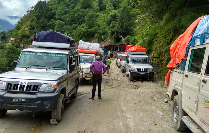
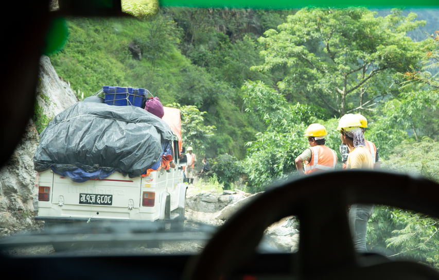
Everything starts in Besisahar. We decided to take a jeep to Dharapani, together with Nepalese people. It allowed us to save already lost time and avoid walking on the road at the beginning of the trek which, in my opinion, is not the nicest experience. However, we barely got there. Why? The answer is - landslides, they are unavoidable if you go to do trekking in Nepal during monsoon season (June - late September). Therefore, we were waiting 4hrs for an excavator that cleared the way. I think it is a perfect moment to explain why we chose the first half of September...
PROS:
1. There are not many trekkers and tourists which means that you can enjoy the trail and its views. Therefore, you do not waste time in traffic and do not need to do teahouse reservations, hotels and transport in an advance. You have more freedom.
2. It is warmer, what may be beneficial on the top. Annapurna Circuit has unique localization and even during monsoon season there is no raining at higher altitudes.
3. You have more chance to get better contact with locals who are not overwhelmed by tourists yet and make some friendship with other trekkers.
4. Everything is much cheaper than in a high season.
5. The length of the day is longer than in a high season.
CONS:
1. It may be too hot for some people at lower level.
2. Some teahouses are closed as well as some bakeries - 'apple pie season' starts at the end of September! :(
3. Because of the rain there are delays.
4. There is cloudier, but sky in the morning is clear.
5. Your life can be in danger when you are in a public bus on the muddy 'road' above a precipice
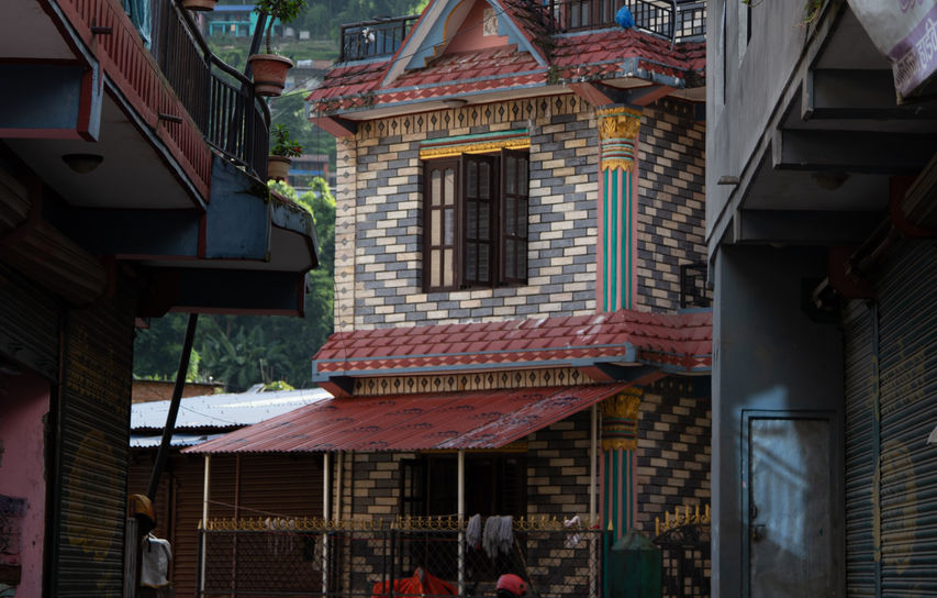
It is very difficult to decide when to go. I do not regret our decision. However, I think I will not go to Nepal during monsoon season next time. That is also why I admire people who live there and need to deal with those problems on daily basis. Our driver had amazing skills and, in my opinion, jeeps are the safest way of transportation in Himalaya Mountains. It is worth to write about local people. From my experience most of them do not have great English but they learn it and it is still better than tourists who do not learn Nepalese language at all. They have great sense of humour though. I loved the word 'maybe' which is their answer for most of the questions. We were the only foreigners in the jeep and I think we managed to catch the good contact, despite language difficulties. After the night in colourful teahouse, we took a jeep to Chame and started our trekking adventure from there. If we would have more time we would definitely start the trekking from Jagat or Tal (the village below two waterfalls) and hike from Dharapani to Chame, instead of taking the jeep.
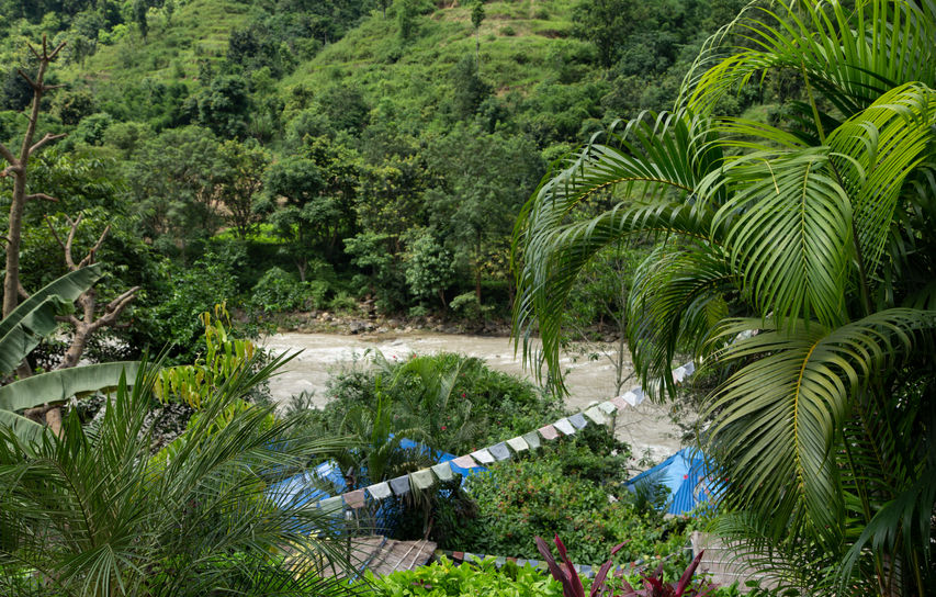
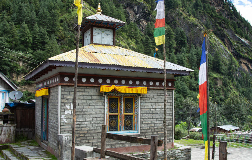
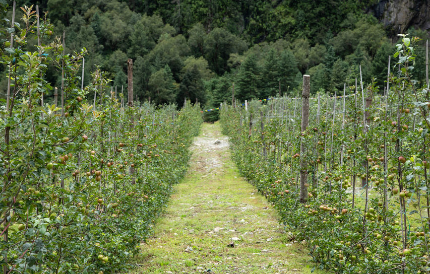
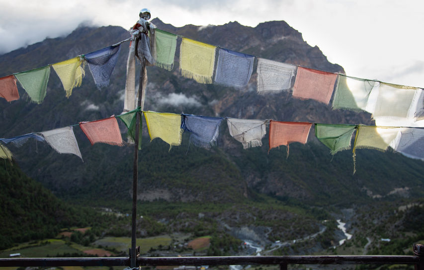
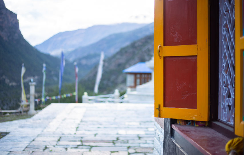
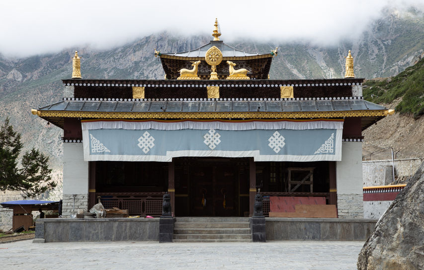
The walk from Chame to Upper Pisang is amazing. I loved the part with a huge waterfall on the left side. In the high season you can enjoy fresh apple pie when you arrive to the place with apple orchards. I can imagine it is super tasty, just imagine though. After while there is a forest walk which is a nice change from open space and strong sunshine. The Buddhist prayer flags bring a little bit of magic between trees and on the suspension bridges. A different landscape begins when you pass Dhukur Pokhari. For me it looks like mix of Scottish hills with Alps. There the road splits in two and it is your choice where you will sleep tonight. Is it Pisang or Upper Pisang? We chose the second one because of famous views but I know opinions that lower place is also good, especially if there is an event or festival going on. On the other hand, Upper Pisang has the one of the most beautiful temples on this trek so do not miss it.
After the first day, I could definitely feel my arms. It is always like that after a long break from carrying a heavy backpack. Nevertheless, the adventure has just begun. We took our time and did not hurry anything, probably due to my photographing. It always takes me ages but I love contemplating nature. There are some quite steep ascents on the way to Manang but you should buy a yak cheese in Ghyaru and I am pretty sure it will reward any difficulties. After the first uphill approach we met two very nice guys and we continued our adventure with them until Muktinath. They brought a lot of happiness to our trekking. Matthew from Malta and Ramesh, Nepalese guide from Himalaya Guide Nepal Pvt. Ltd. (https://www.himalayaguidenepal.com/) became our friends. [There is my review: https://pl.tripadvisor.com/ShowUserReviews-g293890-d6873527-r632954686-Himalaya_Guide_Nepal-Kathmandu_Kathmandu_Valley_Bagmati_Zone_Central_Region.html] When you pass Ghyaru the way leads you to harsher landscape, the south extension of the Tibetan plateau, and some parts with trees. That day was the hottest one and I even got sunburn despite tons of sun cream applied.
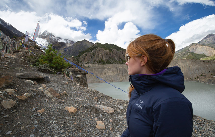
Then you arrive to Manang, where is the time for acclimatization. You wake up swollen or just tired but you should do some hiking for better acclimatisation. There are many things to do around Manang. In my opinion, one day is not enough. We saw only Gangapurna Lake and the views from above it. A nap was essential as well as a trip to see a big Buddhist sanctuary with people painting inside it. There is even a tiny cinema with cool movies like Himalaya or Touching the Void and all essential things in the shops, like snacks, toilet paper, water bottle, clothes and other equipment. We could definitely plan it for a few days instead of one but I did not find much information about Manang. It is better to chill there and make sure that you are acclimatized well.
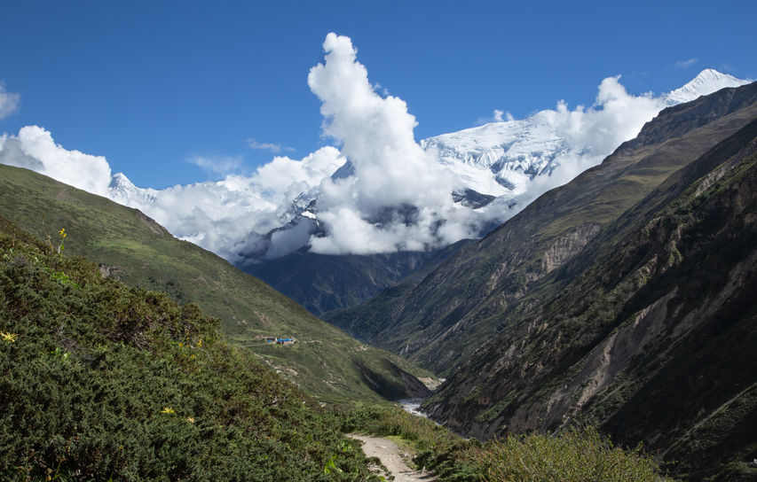
From Manang the trek path starts very steeply and there are some hard sections later on. It is getting harder mainly because of short breath. It is worth to mention that you have almost 2000m ascent to do over two and a half days. Now, you are seriously exposed to high altitude sickness and we saw a few people coming back because of that. Remember when you rest at this altitude don’t rest too much and do not take a nap like we did in Yak Kharka. We felt quite bad after that but, fortunately, only for a short time. However, garlic soup and its magic properties are your salvation. Therefore, I started my garlic session for a few days. I wasn't the only one. After arriving to Letdar, we met new trekkers from Israel and Finland. Yes, we all smelt like garlic (sorry guys...a small joke is never bad). However, I need to say the trail wasn’t busy at all. I found it beneficial for having a great conversation in a small group instead of being overwhelmed by people around you in a high season.
The way from Letdar to High Camp is very short. At this altitude it sounds amazing, doesn’t it? However, there are very steep sections, mainly from Thorung Phedi to High Camp and you can barely catch a breath. We were lucky that day to see blue sheep just a few steps from us. If there is a clear sky you can see a lot from the top. High Camp is the most remoted place on entire trek. There is no electricity, signal, shower or anything like that.
Now, the real fun begins. Waking up at 4 a.m. with a perspective of pretty tricky hiking up till you reach the very, very top at 5416m is not the nicest one. However, you quickly forget a hardness of this part because of amazing views around you. I can’t compare the views from this section to anything else than Himalaya Mountains. Yes, there is true atmosphere of Himalayas. That happiness and all emotions during that day made it an unforgettable experience. I was happy that I could share it with others and my other half.
After hundreds of photos on the top, we started going down. Matthew called it ‘the day in the hell’ because of about 1600m descent that we had to do. I couldn’t feel my legs at the end of the day in Muktinath but after all, we managed to go for a pint and play cards in Bob Marley pub with almost everyone met during the trek.
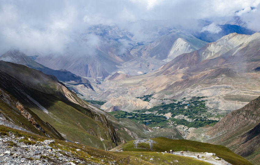
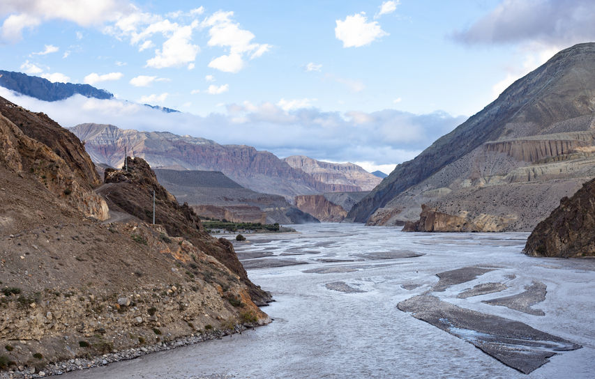
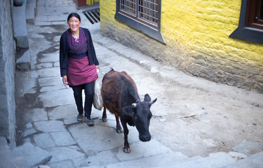
Muktinath offers a lot. You can experience a mix of cultures here and different religions - the lowland Hindus and highland Buddhists. From now you are stepping into the Gandaki Gorge, which is the deepest canyon in the world, and busy pilgrimage and trade route that is still controlled by Thakali and Mustang tribes. The landscape on the way to Kagbeni is very impressive and you can admire the harsh atmosphere of the Tibetan side. On the way there is a small teahouse where the young women and her puppy welcomed us for a meal. It is a good place for a lunch. After about hour later from there you arrive to the small village located near the river and under a giant rock. Kagbeni is the most colourful village steeped in Buddhism. It is something magical about that place and I could stay there a little bit longer.
We continued trekking to Jomsom where we decided to take a bus due to bad weather and our flight cancellation. The bus was the worst choice ever and I recommend taking a jeep. It was one of the most frightening experiences in my life if not the one. We were just above a precipice too many times. Eventually, the bus stopped because of numerous landslides ahead of us. We had to walk 15km and arrived just before the night in Tatopani. Unfortunately, we did not have a chance to use a hot springs there. This is popular place to do that.
THE END
This was the end of our trek but not the adventure. We continued it to Pokhara next day and after an amazing day spent there we went to Kathmandu. Those two cities are worth to explore for sure. Pokhara is calmer and you can relax there after Annapurna Circuit even a few days. There are so many things to do, see, buy and eat! Kathmandu is super busy and I would not stay there for more than two days but I am not fun of hectic cities. Nevertheless, I like this place, its colours, temples and cultures…and monkeys!
For me Annapurna Circuit is on the top of my traveling, backpacking and hiking experience. It is not only because of Himalaya Mountains itself but many different aspects, like totally new experiences, beauty of cultures, people met on my way and a small lesson about myself. No matter what obstacles you encounter, completing the Annapurna Circuit will be remembered forever.
TOP TIPS
At the end, I would like to share some important information here. Even if they are pretty obvious, after what I have seen, they are not for everyone. Therefore, I ask everyone who is going to go to Nepal to do a trekking or whatever in the future to:
1. Respect local people, get time to know the culture before your adventure.
2. Don't expect anything, you are their guest, you're not more important than local people and everyone is equal - like I've seen people who changed their food orders or whatever ten times with horrible tone of voice.
3. Signs - what the left and right hands are used for.
4. Basic language, it's nice even if you try to learn with them.
5. A little bit of knowledge about history and current situation would be very nice.
6. Don't take photos without questions and permission.
7. Dress code - I've seen too many almost naked female tourists, it's not nice and pretty sad.
8. Respect the fact that they may be overwhelmed by tourists after previous experiences with some of them. :(
9. Don't give money to children, don't teach them that, help in a different way!!!
10. Buy their food, don't bring your own and stove with you, please!
11. Smile and be polite.
12. Respect the environment, even if local people don't do that!!! Take all your rubbish with you.
13. Don't buy things from an unknown source, like no fair trade, or China, who sells stuff there and not far away destroys Tibet.
14. Support local artists, craft makers, designers, farmers, organisations etc., like Woven (Wsdo Nepal), Pachamama Knitwear, egos-shoes, Child Rescue Nepal.
Sources: own experience and notes, http://www.nepaltrekkingpass.com
DHANYAVADA!
THANK YOU :)


